Laser Rangefinders vs. GPS Distance Devices: A Field-Ready Engineering Breakdown for Serious Buyers
Distance measurement technology has matured considerably over the past decade, giving hunters, surveyors, golfers, and construction professionals an expanding array of hardware options. Two dominant categories — laser rangefinders and GPS-based distance devices — each carry distinct engineering philosophies, and neither is universally superior. Understanding the mechanical and electronic principles behind each platform is essential before committing your budget to either one.
How Each Technology Actually Works
A laser rangefinder operates on the time-of-flight principle. The device emits a pulse of infrared laser light, which travels to a target, reflects back, and returns to the sensor. Onboard circuitry calculates the elapsed time and converts it to a distance measurement. High-end units can resolve measurements to within half a yard or better, depending on target reflectivity and atmospheric conditions. The computation happens in milliseconds, making the technology feel nearly instantaneous to the operator.
GPS distance devices work on an entirely different premise. Rather than measuring the space between the user and a target directly, they determine the user's geographic coordinates by communicating with a constellation of orbiting satellites. The device then calculates distance by comparing those coordinates against a pre-loaded database of mapped locations — golf course hole positions, surveyed landmarks, or user-entered waypoints. Accuracy is therefore dependent on both satellite signal quality and the precision of the underlying map data.
These are fundamentally different problems being solved by fundamentally different means, and that distinction drives every performance trade-off discussed below.
Accuracy Under Real-World Conditions
On a clear day with a reflective target, a quality laser rangefinder — such as those manufactured by Leupold, Vortex, or Bushnell — can deliver readings accurate to within one yard at distances up to 1,000 yards or more. At shorter ranges, sub-yard precision is common. That level of exactness is why laser devices remain the preferred choice in competitive archery, long-range rifle shooting, and precision surveying.
GPS devices, by contrast, are subject to dilution of precision — a technical term describing how satellite geometry affects positional accuracy. Under ideal open-sky conditions, a consumer GPS unit typically achieves horizontal accuracy in the range of 10 to 15 feet. Some devices leverage WAAS (Wide Area Augmentation System) correction signals to push that figure closer to 3 meters. For applications where a few yards of variance is acceptable, GPS performs adequately. For applications demanding tight tolerances, it does not.
Where GPS devices gain an advantage is in mapped-database applications. A golf GPS watch that knows a green's front, center, and back positions from a professionally surveyed course map can deliver consistent, repeatable yardages without requiring the golfer to aim at a flag. The measurement is less about raw sensor accuracy and more about the quality of the course data.
Environmental Factors That Affect Performance
Laser rangefinders are sensitive to atmospheric interference. Heavy rain, dense fog, and thick brush between the operator and the target can scatter or absorb the laser pulse, reducing effective range and occasionally producing erroneous readings. Some manufacturers address this with angle-compensation algorithms and multiple-pulse averaging, but physics imposes limits that engineering cannot fully overcome.
Sunlight angle can also affect target acquisition. Highly reflective surfaces — water, glass, chrome — may produce stronger-than-expected returns, while dark or matte surfaces like a black bear's coat or a shadowed tree line absorb more laser energy, reducing maximum effective range.
GPS performance degrades in environments where satellite signals are obstructed. Dense forest canopy, deep canyon terrain, and urban canyons with tall buildings all reduce the number of visible satellites, which directly impacts positional accuracy. In a heavily wooded hunting environment, a GPS device may struggle precisely where a laser rangefinder excels, provided the operator has a clear line of sight to the target.
Battery Life and Operational Practicality
Laser rangefinders are generally efficient with power. A typical unit consuming a single CR2 or 9-volt battery can deliver thousands of measurement activations per charge cycle. Because the laser fires in brief bursts rather than maintaining a continuous connection, energy draw is minimal during periods of non-use.
GPS devices, particularly those with color displays or continuous tracking modes, consume considerably more power. A dedicated GPS rangefinder running active satellite acquisition may drain a battery within 8 to 15 hours of continuous use. Smartwatch-style GPS devices with smaller batteries may require daily charging under heavy use. For multi-day backcountry hunts or extended survey projects, battery management becomes a genuine operational consideration rather than a minor inconvenience.
Application-Specific Recommendations
Hunting: For hunters pursuing whitetail deer or elk in open terrain or moderate brush, a laser rangefinder provides the real-time precision needed to make ethical shot selections. Bowhunters in particular benefit from the sub-10-yard accuracy that quality laser units deliver. GPS-based hunting apps and devices are more useful for navigation and property boundary awareness than for shot-distance measurement.
Golf: This is arguably the one application where GPS devices have carved out a dominant share of the market. A GPS golf watch or handheld unit provides hands-free yardage to greens without requiring the golfer to aim at a flag — useful when the flag is obscured or when rapid play is expected. Laser rangefinders deliver greater precision for flag-specific yardage, making them the preferred choice for competitive golfers who want exact numbers. Many serious players carry both.
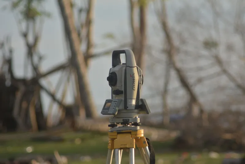
Surveying and Construction: Professional land surveying demands accuracy that consumer-grade GPS cannot reliably provide. Survey-grade GPS systems — which use differential correction and multi-frequency receivers — can achieve centimeter-level accuracy, but these units are priced for commercial budgets. For general construction layout and distance estimation, a laser rangefinder handles most tasks efficiently. High-end laser distance measurers from manufacturers like Leica and Bosch are purpose-built for construction environments.
Outdoor Recreation and Trail Navigation: GPS devices hold a clear advantage here. Tracking position across terrain, measuring distances traveled, and navigating to waypoints are tasks that GPS executes far better than a laser rangefinder, which measures only point-to-point line-of-sight distances.
Price Considerations and Where to Allocate Your Budget
Entry-level laser rangefinders begin around $100 and offer basic yardage readouts suitable for casual golf or general outdoor use. Mid-tier units in the $200 to $400 range introduce angle compensation, longer effective range, and improved optical quality. Premium hunting and tactical units from Leupold, Sig Sauer, and Vortex occupy the $400 to $800 range, offering best-in-class ranging performance and rugged construction.
GPS devices span a similarly wide range. Golf GPS watches start under $150, while feature-rich handheld hunting and navigation GPS units from Garmin can exceed $600. Survey-grade GPS equipment is a separate market entirely, with professional systems beginning in the thousands.
The Practical Verdict
Neither technology wins universally — they solve different problems. If your primary need is precise, real-time distance to a specific target, a laser rangefinder is the correct instrument. If your application involves navigation, mapped-course yardages, or tracking movement across terrain, GPS-based hardware offers capabilities that a laser device cannot replicate.
For buyers whose use cases span both categories, pairing a compact laser rangefinder with a GPS-enabled watch or handheld unit is a practical solution that many serious field users already employ. Evaluate your dominant use case first, then allocate your budget accordingly — that sequencing will serve you better than chasing a single device that claims to do everything.